UAV mapping
What we do
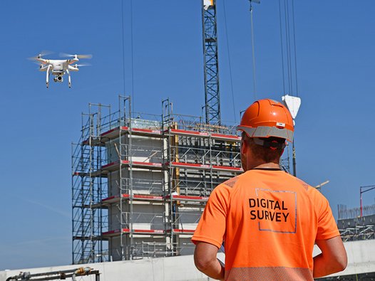
With the help of drone flights, even large and difficult-to-access areas can be recorded with maximum efficiency. By using high-resolution cameras, the areas flown can be mapped precisely.
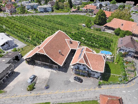
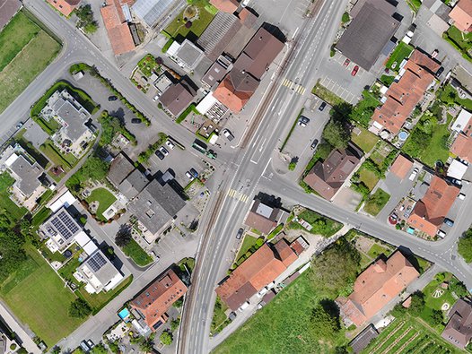
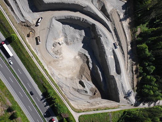
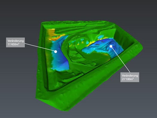
Surfaces in the cm range are measured contact-free from the air. Photogrammetric point clouds are calculated from the high-resolution images, which can be used in a variety of ways after a refinement process. Thus, excavation areas or deposits can be documented three-dimensionally and objects can be localised and inventoried with the help of precisely georeferenced orthophotos. In addition, a current, high-resolution orthophoto offers an ideal basis for planning.
Thanks to the use of RTK drones, open pit mines can be flown safely and without restrictions on production. Quantities can be precisely determined over time.
The drone is the perfect complement to 3D mobile mapping. Thanks to the aerial photographs, the three-dimensional image of reality becomes complete. All data can be integrated in our online viewer.
Our services
Drone systems
Drone systems

Orthophotos
Orthophotos

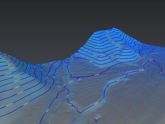
Digital terrain models
Digital terrain models

Volume calculations
Volume calculations

Landscape modelling
Landscape modelling

Documenting projects
Documenting projects

Your point of contact
Thomas Lüthi
Manager / Engineering
thomas.luethi(at)digitalsurvey.ch
+41 34 420 30 56

![[Translate to English:] digital survey AG [Translate to English:] digital survey AG](/fileadmin/_processed_/3/3/csm_Headerbild_d5996fd04f.jpg)
