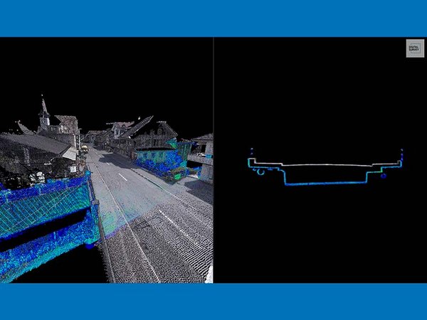
3D as-built models incl. channel underpasses
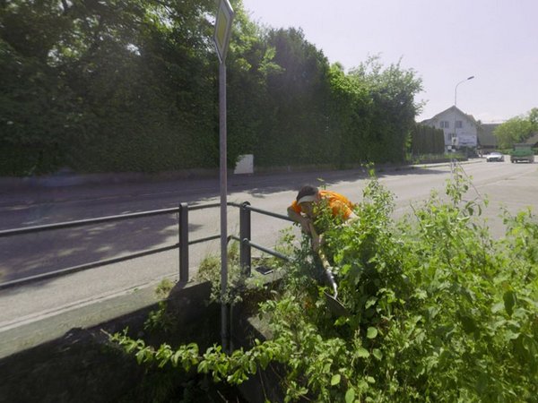
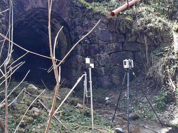
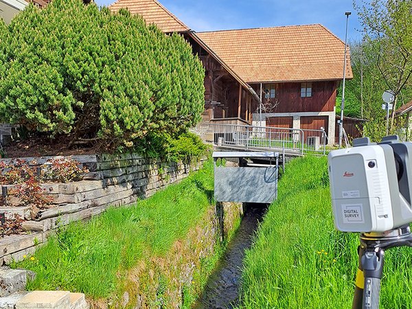
With a terrestrial laser scanner, we supplement the street recordings of the mobile mapping and thus obtain a complete point cloud, which serves as the basis for our evaluations. Since the stream culverts are not always easily accessible, it takes quite some commitment from our team.

![[Translate to English:] digital survey AG [Translate to English:] digital survey AG](/fileadmin/_processed_/3/3/csm_Headerbild_d5996fd04f.jpg)


