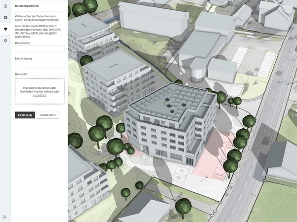
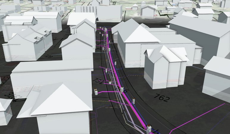
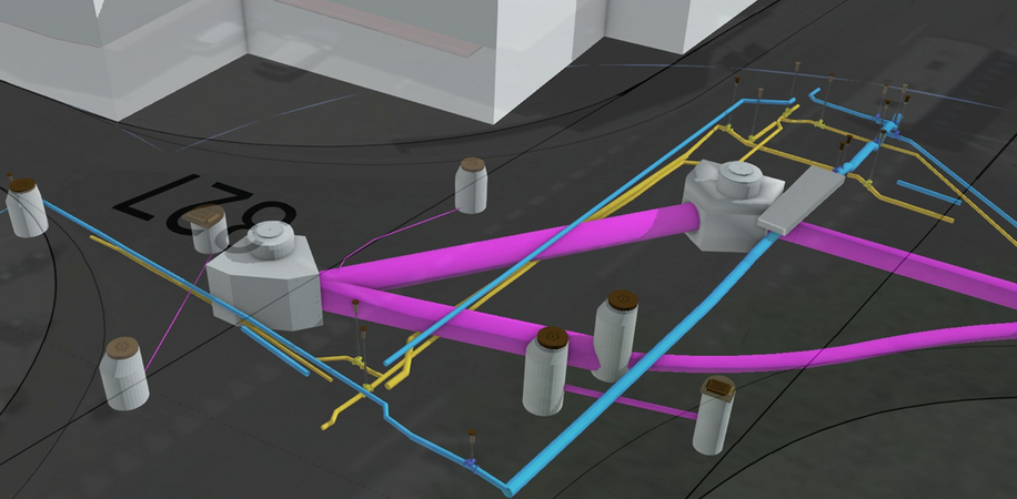
3D data of the digital survey AG easily usable in LUUCY
The Lucerne platform for spatial and real estate development LUUCY meets these requirements. In close cooperation, we develop interfaces for the automated import of our precise geodata into the web-based 3D platform. From the preparation of building entries to the automated creation of the 3D representation from existing 2D cadastres, such as tree cadastres or line elements.
Professionals in recording and processing, as well as visualisation and planning united.

![[Translate to English:] digital survey AG [Translate to English:] digital survey AG](/fileadmin/_processed_/3/3/csm_Headerbild_d5996fd04f.jpg)


