Inventorying with 3D Mobile Mapping
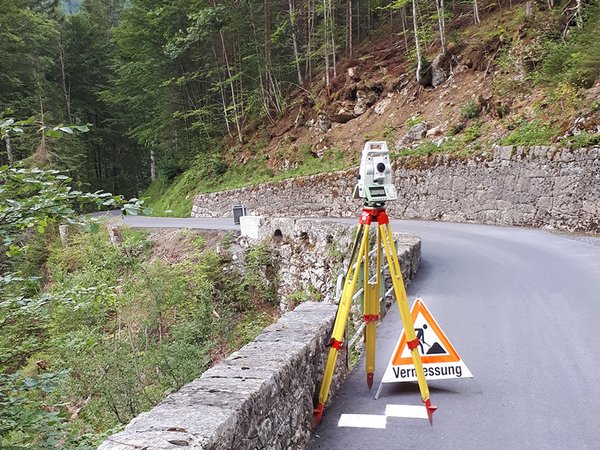
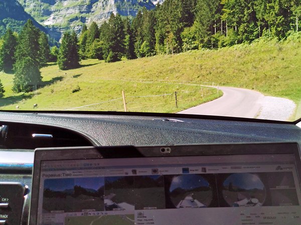
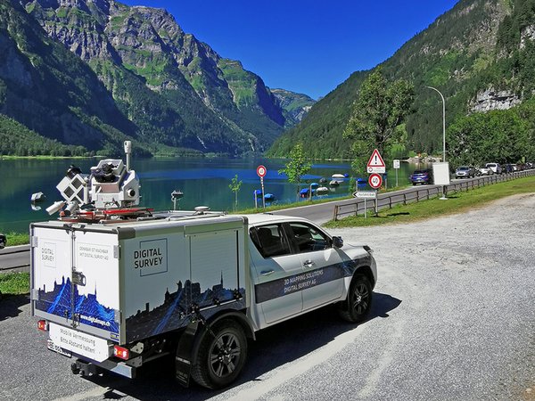
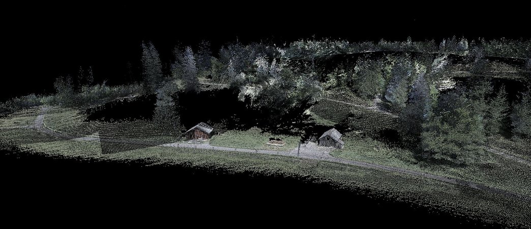
The prepared control points, which were signalled and measured by the local surveying office geodata Glarus AG, served as the basis for fitting of the 3D Mobile Mapping recordings by digital survey AG. Thanks to innovative technology, complete 3D data of the road area is now available within a very short time. The captured images and 3D data are also available online to all participants via digitalMAPS.

![[Translate to English:] digital survey AG [Translate to English:] digital survey AG](/fileadmin/_processed_/3/3/csm_Headerbild_d5996fd04f.jpg)


