3D Cadastres at a touch of a button
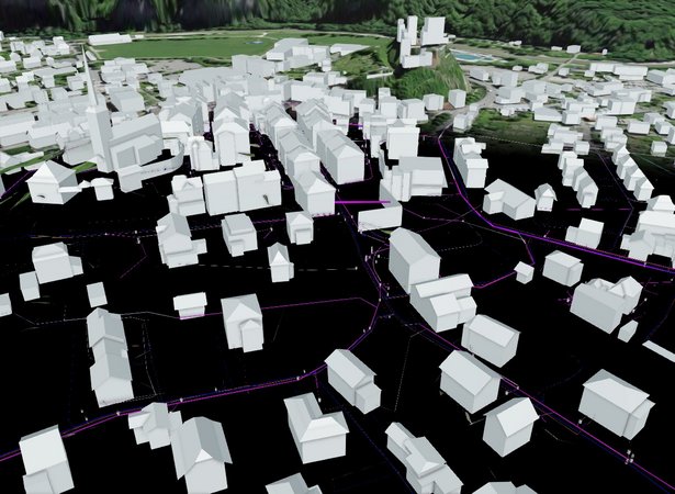
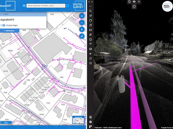
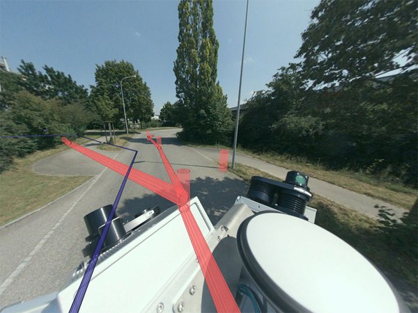
Independent of the data model of the geodata, an internal data model was built that meets the requirements of 3D representation. The height was derived from a combination of the source data, 3D mobile mapping and terrain information. Point objects were modelled in detail and scaled, oriented and placed according to the source data. Due to this proximity to the basic data, the 3D data is as precise as the 2D cadastral data itself and can be used not only for visualisation but also for planning. This has already been implemented in the areas of water, sewage, gas, drainage, lighting, signage, etc.

![[Translate to English:] digital survey AG [Translate to English:] digital survey AG](/fileadmin/_processed_/3/3/csm_Headerbild_d5996fd04f.jpg)


